Heavy snow and freezing rain hits UK this weekend
 UPDATED: 15:16 GMT, 4 January 2025
The Met Office has issued new warning maps showing which areas will be hit the hardest by heavy snow and temperatures of -10C, as major cities 'activate' emergency plans.
Stranded vehicles on the roads, delayed or cancelled rail and air travel and power cuts are all likely as the country grapples with a week-long spell of wintry conditions, the Met Office said.
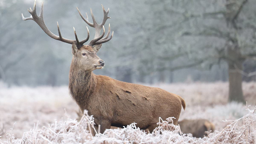
There is also a 'good chance' that rural communities could be cut off thanks to the weather, with up to 30cm of snowfall expected in some areas.
A Met Office spokesperson confirmed the temperatures reached a low of -8.6C in Aboyne in Aberdeenshire overnight.
Chilly conditions were expected to continue for most of Saturday, today with most places ranging from 2-5C, with highs of 7C in south-west England. The coldest temperature recorded in January last year was minus 14C, in Dalwhinnie in the Highlands.
The Met Office has warned that up to 1ft 4in (40cm) of snow could blanket parts of the UK.
The forecaster put in place a yellow snow warning for most of England and the whole of Wales from 12pm today until 11.59pm on Sunday, while Northern areas of Scotland have yellow warnings until 10am tomorrow.
Two amber warnings, however, have been issued from Newcastle upon Tyne down to Manchester from 9pm today until 11.59pm tomorrow and from Stoke on Trent to just above Cardiff from 6pm today until midday tomorrow.
UPDATED: 15:16 GMT, 4 January 2025
The Met Office has issued new warning maps showing which areas will be hit the hardest by heavy snow and temperatures of -10C, as major cities 'activate' emergency plans.
Stranded vehicles on the roads, delayed or cancelled rail and air travel and power cuts are all likely as the country grapples with a week-long spell of wintry conditions, the Met Office said.
There is also a 'good chance' that rural communities could be cut off thanks to the weather, with up to 30cm of snowfall expected in some areas.
A Met Office spokesperson confirmed the temperatures reached a low of -8.6C in Aboyne in Aberdeenshire overnight.
Chilly conditions were expected to continue for most of Saturday, today with most places ranging from 2-5C, with highs of 7C in south-west England. The coldest temperature recorded in January last year was minus 14C, in Dalwhinnie in the Highlands.
The Met Office has warned that up to 1ft 4in (40cm) of snow could blanket parts of the UK.
The forecaster put in place a yellow snow warning for most of England and the whole of Wales from 12pm today until 11.59pm on Sunday, while Northern areas of Scotland have yellow warnings until 10am tomorrow.
Two amber warnings, however, have been issued from Newcastle upon Tyne down to Manchester from 9pm today until 11.59pm tomorrow and from Stoke on Trent to just above Cardiff from 6pm today until midday tomorrow.