Met Office issues new amber warning as temperatures drop to -12C
 UPDATED: 11:06 GMT, 8 January 2025
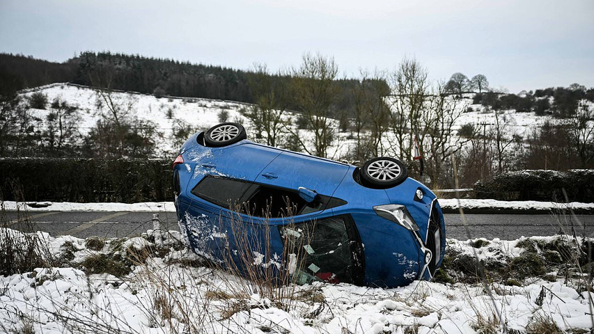
Southern England is bracing for up to four inches of snow today as a fresh weather warning came into force and more than 250 areas remained on flood watch.
The Met Office issued a yellow snow warning covering southern counties and parts of London from 9am until midnight today which could bring further travel disruption.
Between 0.8in (2cm) and 2in (5cm) of snow could accumulate widely and as much as 4in (10cm) over higher ground, with sleet expected in South London this evening.
Forecasters said outbreaks of sleet and snow will push in from the South West during today - although many places could see little to no snow settling, especially on roads.
Existing warnings for snow and ice covering the Midlands, North West England, North Wales, northern Scotland and Northern Ireland remain in force until midday today.
These will then be replaced by a new yellow warning for snow and ice for northern Scotland and Northern Ireland from noon today until midnight tomorrow night.
The Environment Agency had 91 flood warnings and 179 alerts in force for England today, while Natural Resources Wales imposed a further warning and four alerts.
Meanwhile hundreds of schools were closed again today due to the severe weather creating dangerous conditions, especially in West Yorkshire with 190 shut in Bradford.
Flooding also continued to impact rail services across England, including Northern trains between Doncaster and Scunthorpe; Great Western Railway between Liskeard and Looe in Cornwall and Merseyrail trains between Hooton and Capenhurst.
It comes after overnight temperatures plunged to -7.3C (18.9F) in Cumbria, with the mercury set to fall further to -12C (10F) tonight and even -20C (-4F) tomorrow night.
UPDATED: 11:06 GMT, 8 January 2025
Southern England is bracing for up to four inches of snow today as a fresh weather warning came into force and more than 250 areas remained on flood watch.
The Met Office issued a yellow snow warning covering southern counties and parts of London from 9am until midnight today which could bring further travel disruption.
Between 0.8in (2cm) and 2in (5cm) of snow could accumulate widely and as much as 4in (10cm) over higher ground, with sleet expected in South London this evening.
Forecasters said outbreaks of sleet and snow will push in from the South West during today - although many places could see little to no snow settling, especially on roads.
Existing warnings for snow and ice covering the Midlands, North West England, North Wales, northern Scotland and Northern Ireland remain in force until midday today.
These will then be replaced by a new yellow warning for snow and ice for northern Scotland and Northern Ireland from noon today until midnight tomorrow night.
The Environment Agency had 91 flood warnings and 179 alerts in force for England today, while Natural Resources Wales imposed a further warning and four alerts.
Meanwhile hundreds of schools were closed again today due to the severe weather creating dangerous conditions, especially in West Yorkshire with 190 shut in Bradford.
Flooding also continued to impact rail services across England, including Northern trains between Doncaster and Scunthorpe; Great Western Railway between Liskeard and Looe in Cornwall and Merseyrail trains between Hooton and Capenhurst.
It comes after overnight temperatures plunged to -7.3C (18.9F) in Cumbria, with the mercury set to fall further to -12C (10F) tonight and even -20C (-4F) tomorrow night.